Measurement
Radius Map Tool
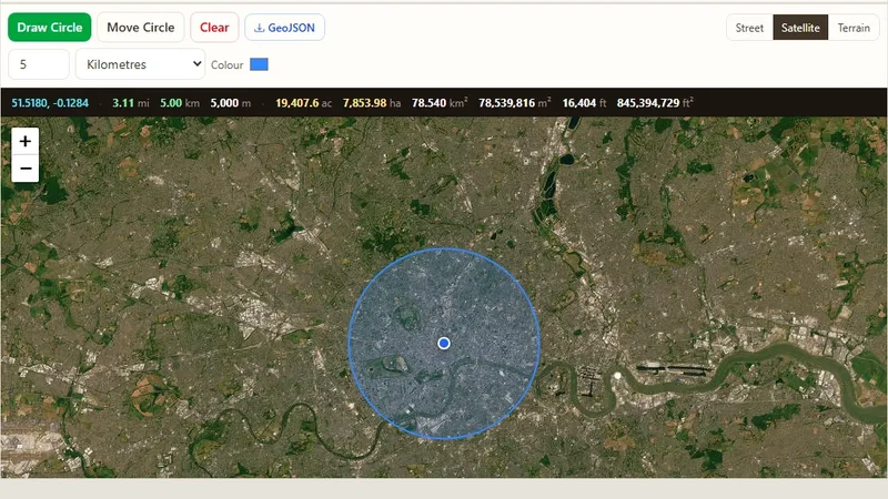
Draw one or many radius circles on a map around any address or point.

We build geospatial software end to end: spatial databases, geoprocessing for raster and vector data, map services based on OGC standards, and web map applications. We work with coordinate reference systems, satellite imagery, geocoding and spatial queries to turn location data into useful information.
From raw data to a finished map application, our team can help with collection, cleaning, analysis, design and development.
We build interactive, map-based web platforms made for your workflow, using leading open-source GIS technology.
Learn moreWe find useful facts in your location data, so you can plan better, run operations well and use resources wisely.
Learn moreWe make clear, professional maps and dashboards that help people understand spatial information quickly.
Learn moreWe get and study high-resolution imagery for land use, environmental monitoring, agriculture and more.
Learn moreWe organize, clean and structure your spatial data so it is easy to use and fast to load.
Learn moreWe give your field teams mobile tools to collect and manage location data on the go.
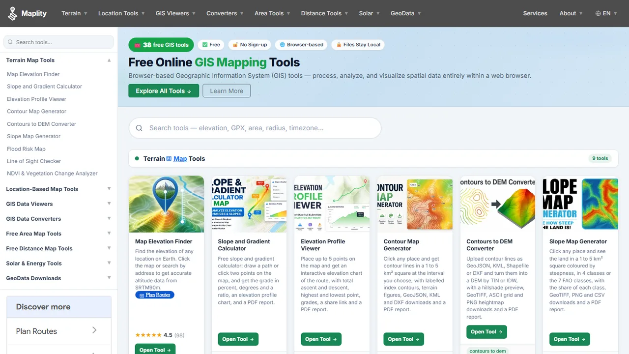
Learn moreFree online mapping tools used by people around the world every day.
Draw one or many radius circles on a map around any address or point.
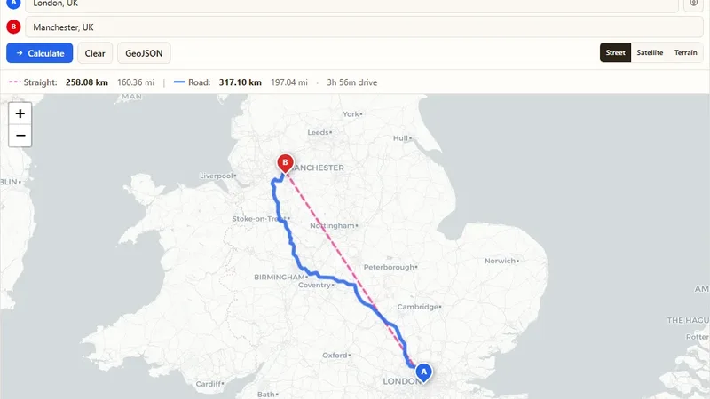
Find the driving and straight-line distance between two addresses.
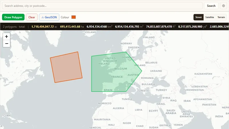
Draw a shape on the map to find its land area.
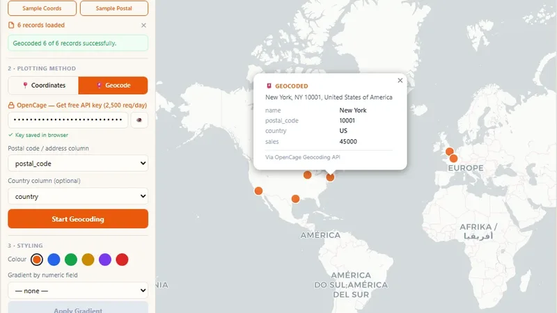
Turn CSV or Excel data into a map by coordinates or postal codes.
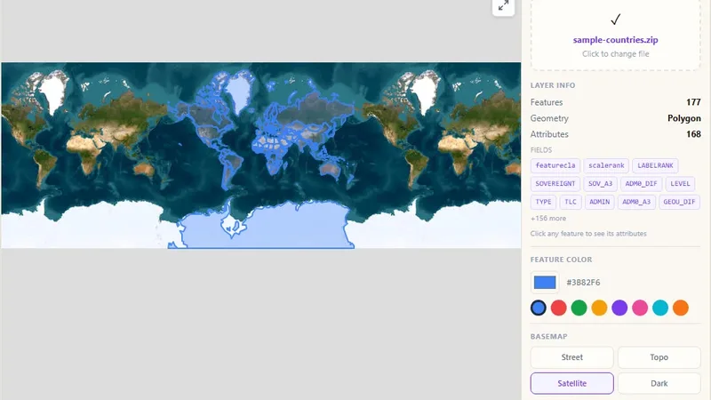
View Esri Shapefiles (.shp) as interactive maps in the browser.
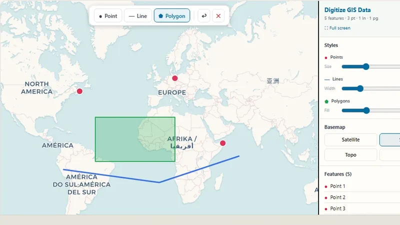
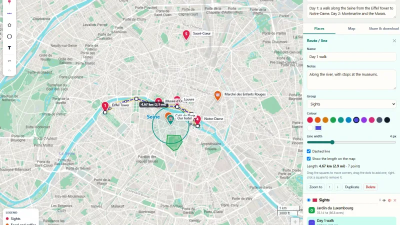
Draw points, lines and polygons and export them as GeoJSON, GPX or KML.
Our GIS work supports planning, monitoring and daily operations in these sectors.
Platforms and data portals we have planned, built and delivered.
GIS is our focus, but our team also builds web, mobile and desktop software, so your whole system can come from one partner.
Software made for your exact business needs, from idea to launch.
Fast, secure and easy-to-use websites and web applications.
Mobile apps for Android and iOS devices.
Desktop software that works with your current systems.
We connect your apps, data and services so they work together.
Data collection, cleaning, reports and dashboards.
Smart features such as prediction, image analysis and automation.
Clean and simple designs that people enjoy using.
We listen to your goals, study your data and agree on the scope.
We plan the data model, map design and user screens.
We develop in small steps and share progress with you often.
We launch, train your team and stay with you for updates.
Tell us about your data and your goals. We will reply with ideas, a plan and a cost estimate.