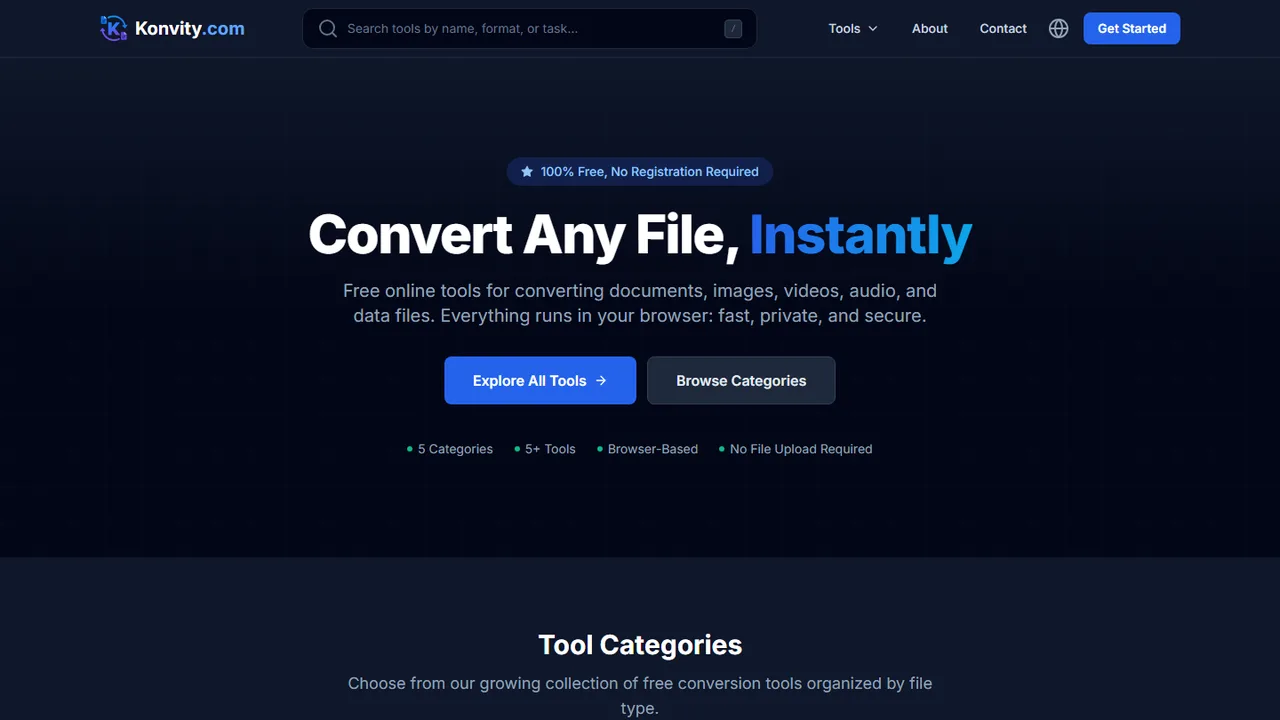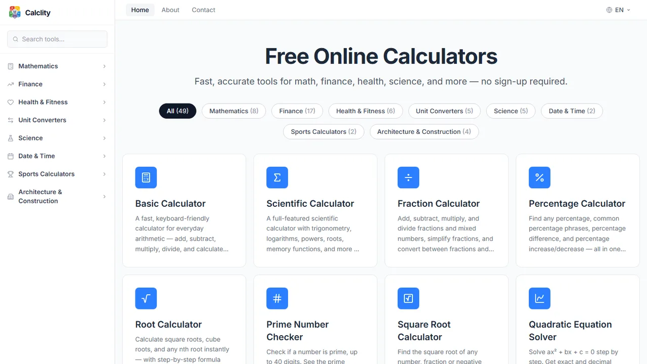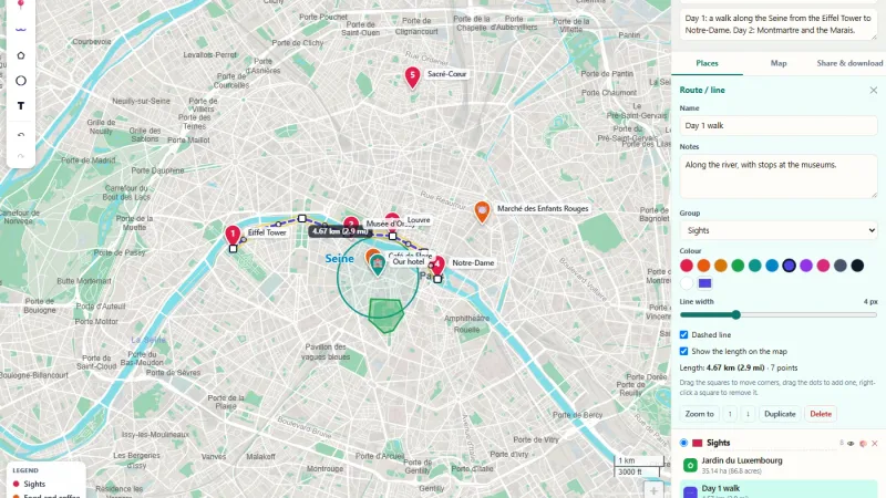
GIS & Mapping
OnlineMapMaker.com
A free web GIS platform with more than 70 online map and GIS tools.

38 free browser-based GIS tools for terrain, location, solar and GPS data.
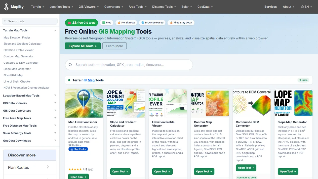
Surveyors, hikers, students and analysts often need one quick GIS task, like an elevation profile or a flood risk check, without setting up GIS software.
We built Maplity.com, a set of 38 free GIS tools that run in the browser. It covers terrain tools (elevation, slope, contours, flood risk, line of sight, NDVI), location lookups, solar calculators, GIS file viewers and converters, and distance and area tools. Files are processed on the user's device, so they stay private.
Tell us about your data and your goals. We will reply with ideas, a plan and a cost estimate.