Measurement
Measure Distance Map
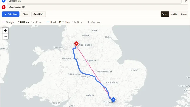
Find the driving and straight-line distance between two addresses.

Draw one or many radius circles on a map around any address or point.
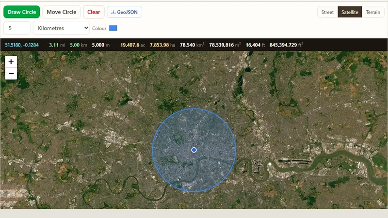
Search a postcode or address, or click a point on the map, and draw a circle with the radius you need. Users can add as many circles as they want, edit them and download the map. Businesses use it to plan delivery zones or to find places within a set distance, like schools near a property.
Try it live: Radius Map Tool on onlinemapmaker.com
Find the driving and straight-line distance between two addresses.
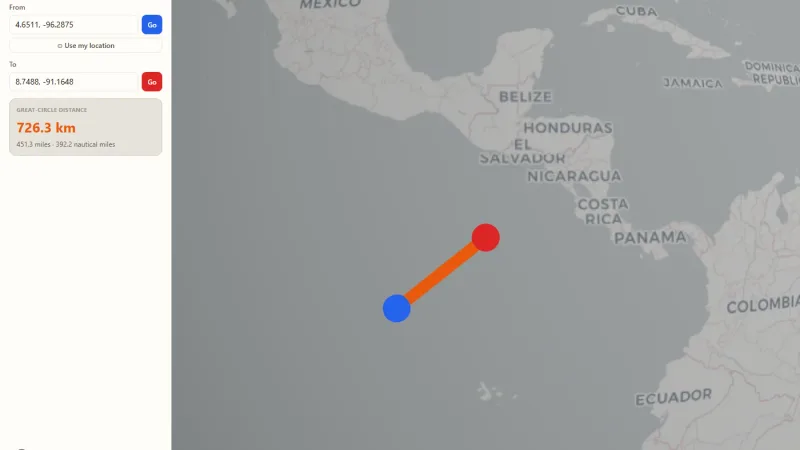
Spin a real 3D Earth, drop two pins, and see the great-circle distance drawn as an arc.
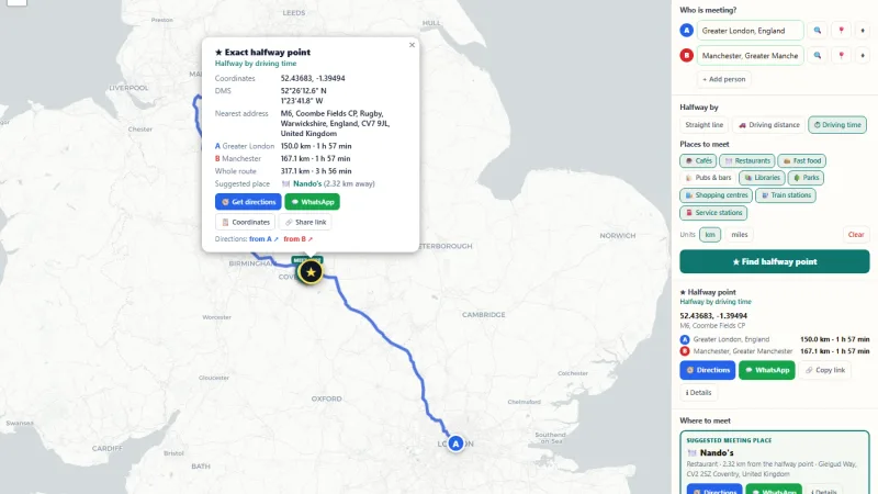
Find the halfway point between two or more places, by straight line or driving time, and get a public place nearby to meet.
Tell us about your data and your goals. We will reply with ideas, a plan and a cost estimate.