Measurement
Radius Map Tool
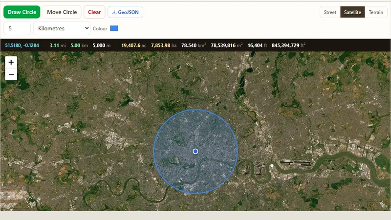
Draw one or many radius circles on a map around any address or point.

Live web mapping tools built and run by our team. Each one solves a common GIS task in the browser, with no software to install.
Draw one or many radius circles on a map around any address or point.
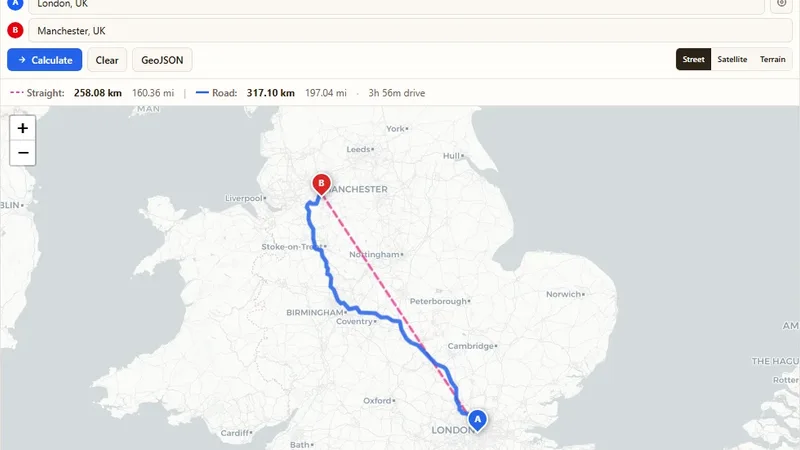
Find the driving and straight-line distance between two addresses.
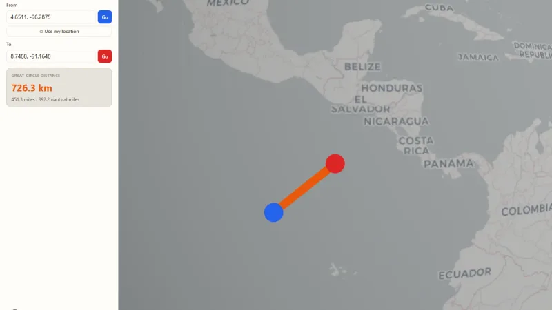
Spin a real 3D Earth, drop two pins, and see the great-circle distance drawn as an arc.
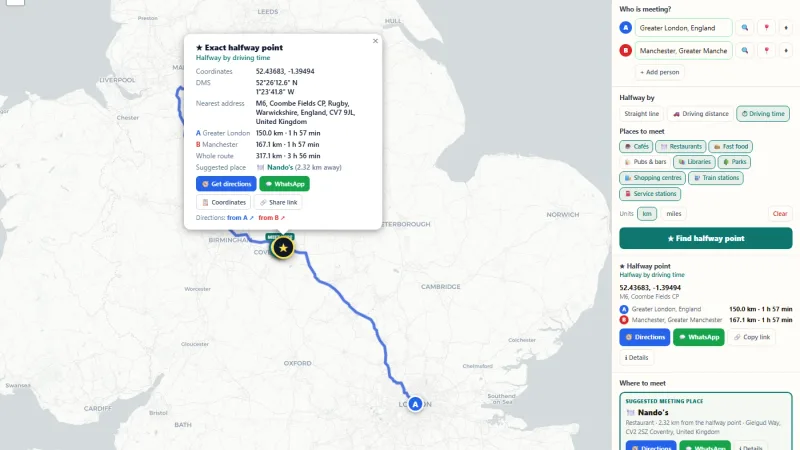
Find the halfway point between two or more places, by straight line or driving time, and get a public place nearby to meet.
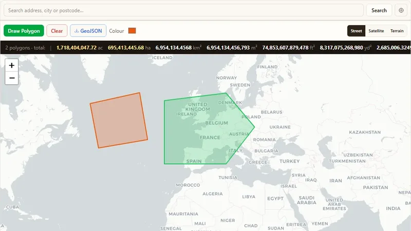
Draw a shape on the map to find its land area.
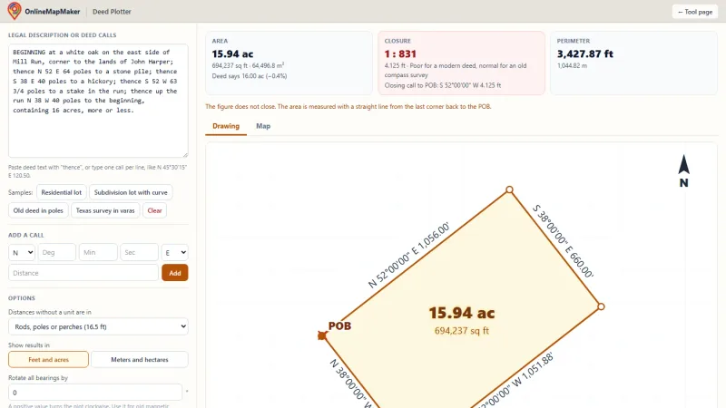
Paste a metes and bounds legal description to draw the property lines and get the acreage and closure error.
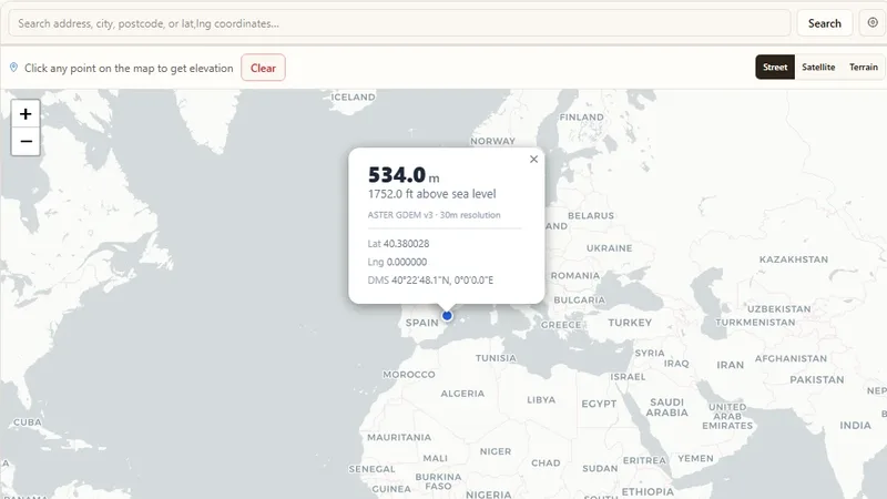
Find the elevation (altitude) of any point on the map.
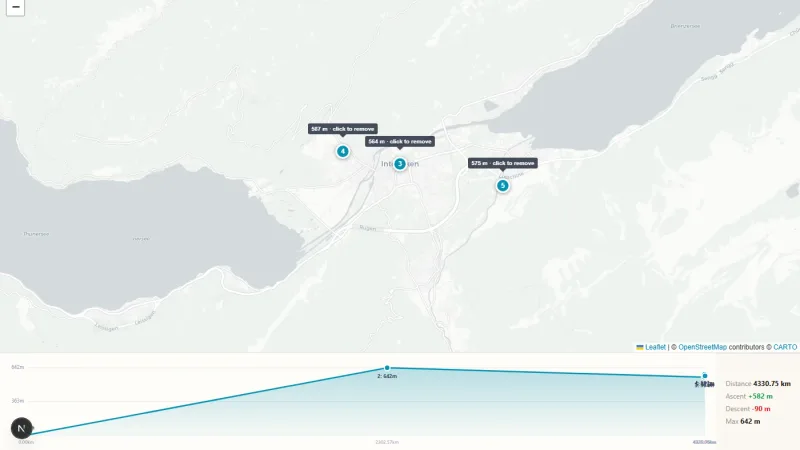
Click up to 5 points on a map to build an elevation profile chart showing altitude between them.
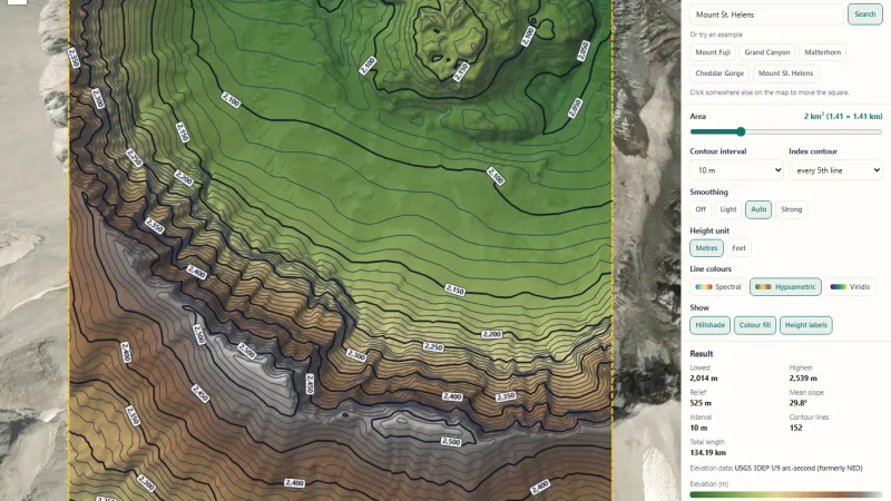
Click any place to draw contour lines for 1 to 5 km², then download GeoJSON, CAD DXF, KML, PNG and a technical report.
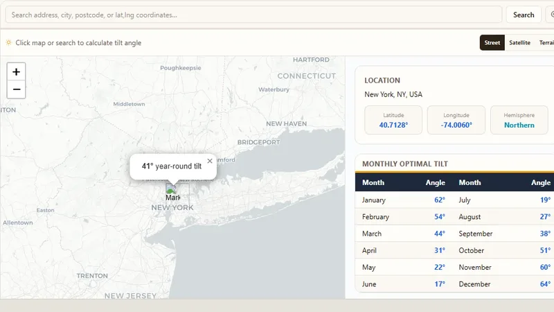
Calculate the best solar panel tilt angle for any location.
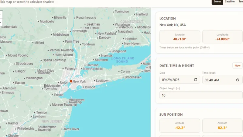
Click a map, set a date, time and object height, and see the sun's position and the resulting shadow's length and direction.
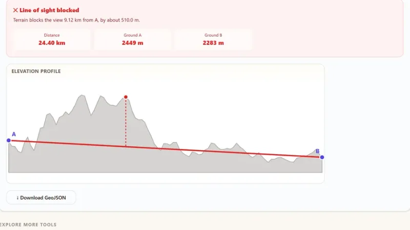
Place two points on a map and check whether they can see each other, accounting for terrain elevation and Earth curvature.
We can build a tool like these for your business, with your data and your brand.