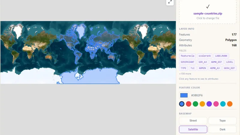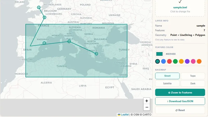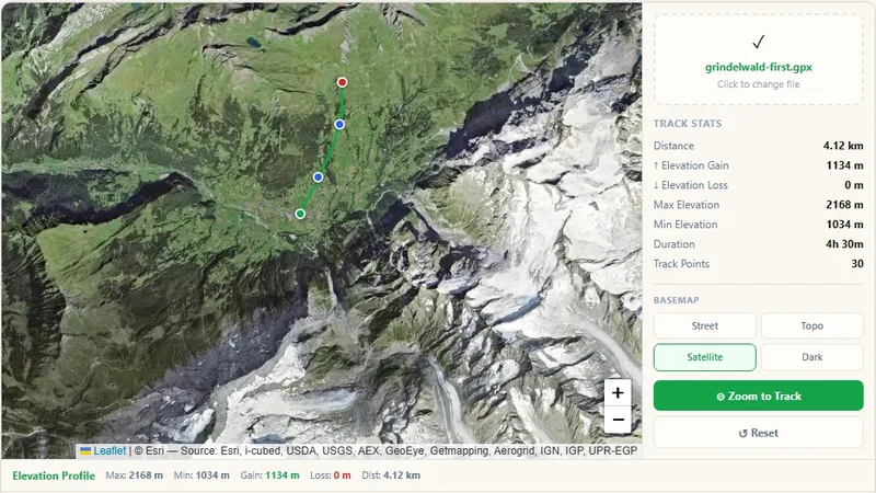
GIS & File Tools
GPX File Viewer
View GPS tracks on a map and get the elevation profile.

Draw points, lines and polygons and export them as GeoJSON, GPX or KML.
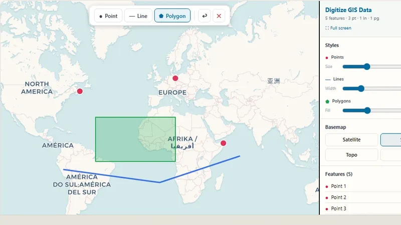
Create GIS data by drawing on a street map or satellite imagery. Users can digitize points, lines and polygons and export the result as GeoJSON, GPX or KML.
Try it live: Digitize GIS Data on onlinemapmaker.com
Tell us about your data and your goals. We will reply with ideas, a plan and a cost estimate.