
GIS services and geospatial solutions
We help companies, governments and NGOs collect, manage, analyze and share location data. Choose one service or let us handle the full project.
What each service includes
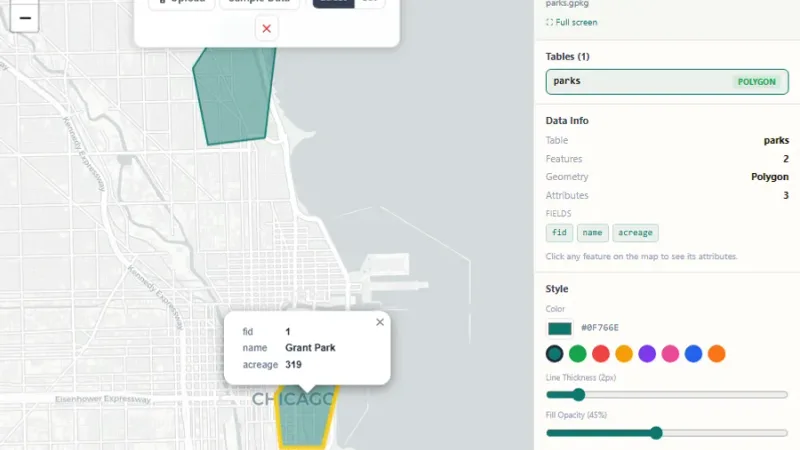
Custom Web GIS Applications
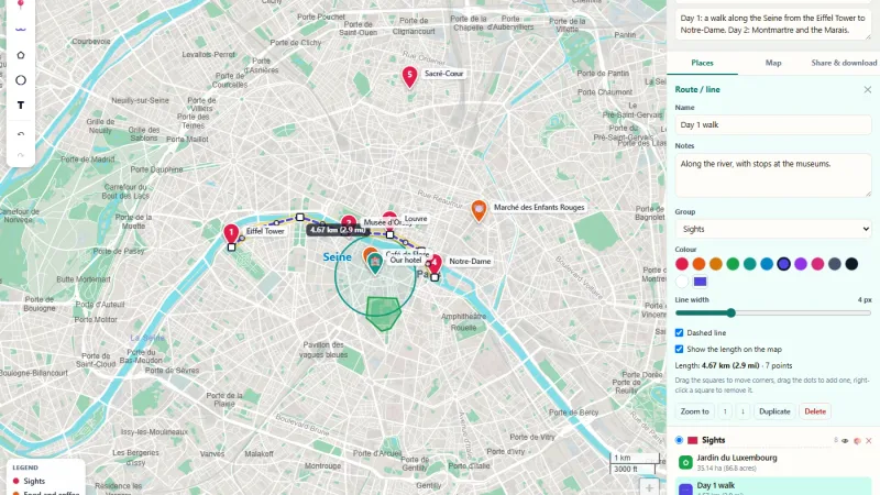
We build interactive, map-based web platforms made for your workflow, using leading open-source GIS technology.
- Interactive web maps and portals
- Map tools: draw, measure, search, filter
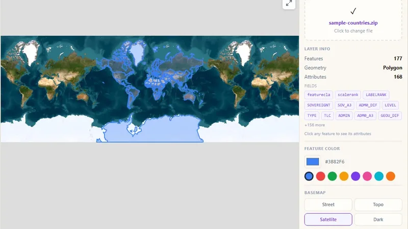
- Upload and view your own GIS data
- Works on desktop, tablet and phone
Spatial Data Analysis
We find useful facts in your location data, so you can plan better, run operations well and use resources wisely.
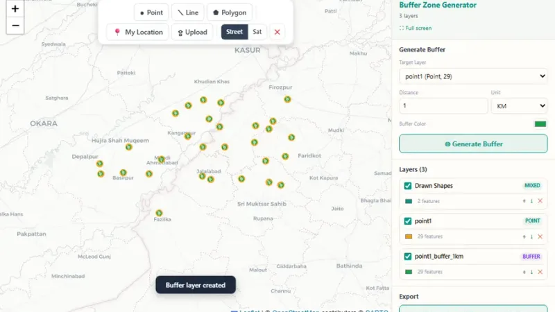
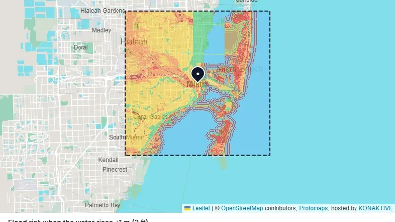
- Buffer, overlay and proximity analysis
- Site selection and suitability studies
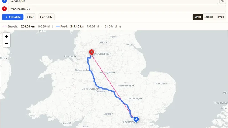
- Network and route analysis
- Hotspot and pattern detection
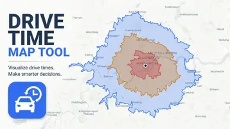
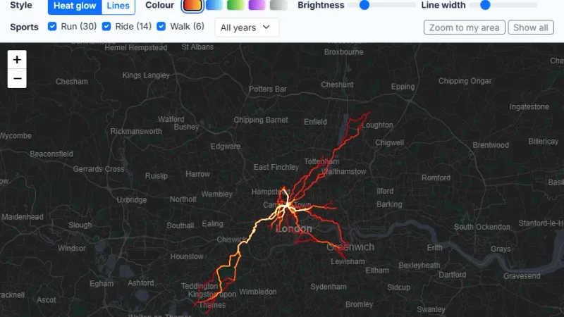
GIS Mapping & Visualization
We make clear, professional maps and dashboards that help people understand spatial information quickly.
- Thematic and printed maps
- Map dashboards with live data
- Custom map styles and base maps
- Story maps for reports
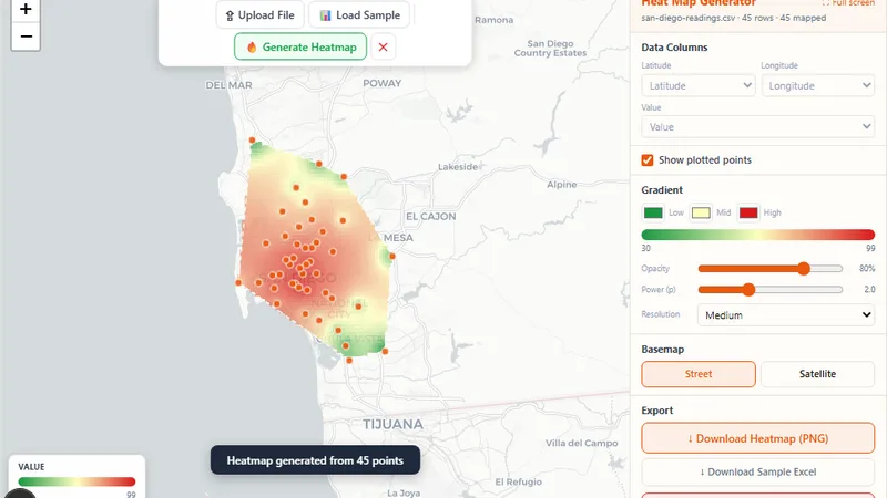
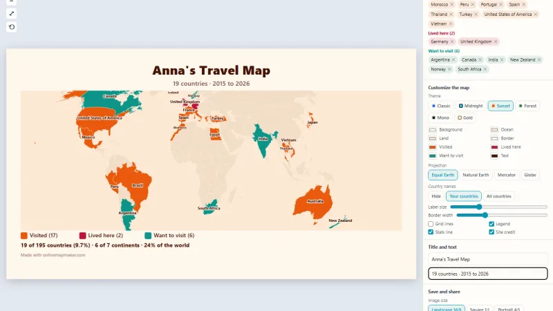
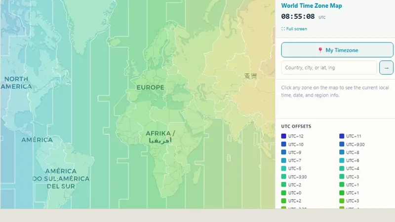
Remote Sensing & Satellite Imagery
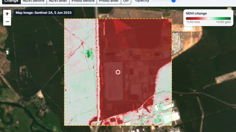
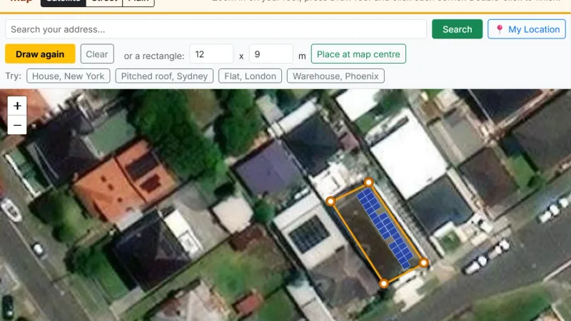
We get and study high-resolution imagery for land use, environmental monitoring, agriculture and more.
- Land use and land cover mapping
- Change detection over time
- Vegetation and crop health (NDVI)
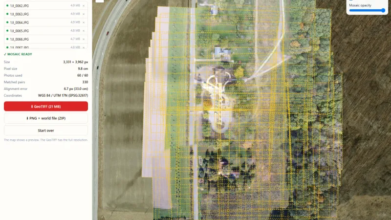
- Imagery processing and mosaics
Geospatial Data Management
We organize, clean and structure your spatial data so it is easy to use and fast to load.
- Data cleaning and quality checks
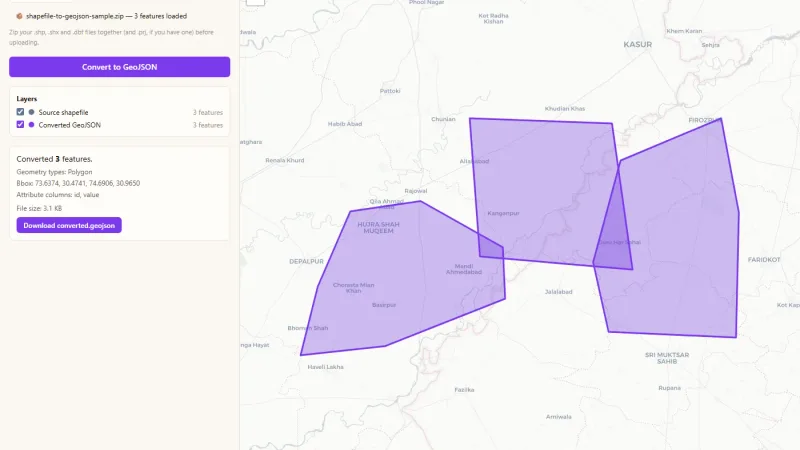
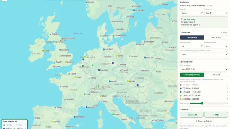
- Format conversion (SHP, KML, GeoJSON, GPX, CSV)
- Spatial databases (PostGIS)
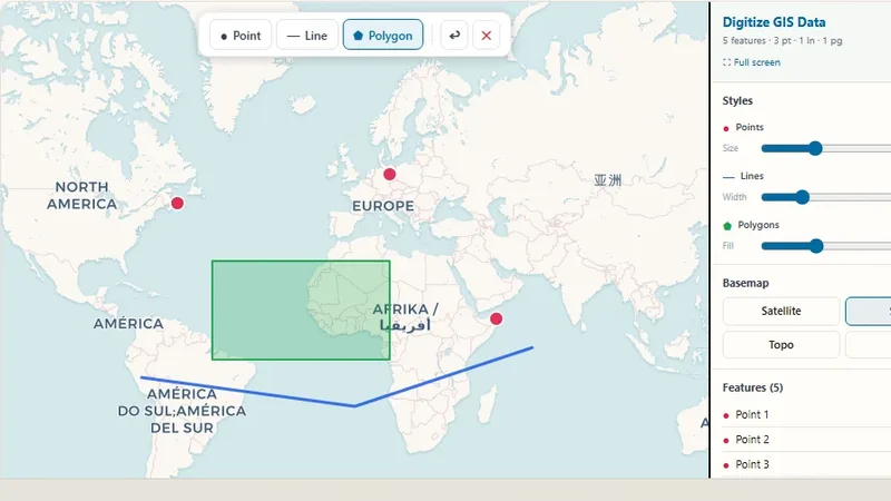
- Digitizing paper maps and scans
Mobile GIS Solutions
We give your field teams mobile tools to collect and manage location data on the go.
- Field data collection apps
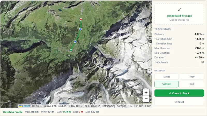
- GPS tracking and live location
- Offline maps for remote areas
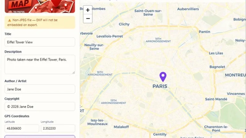
- Photo and form capture with location
Advanced Spatial Analysis & Processing
We automate heavy geoprocessing tasks and build models for large or complex spatial data.
- Geoprocessing scripts and pipelines
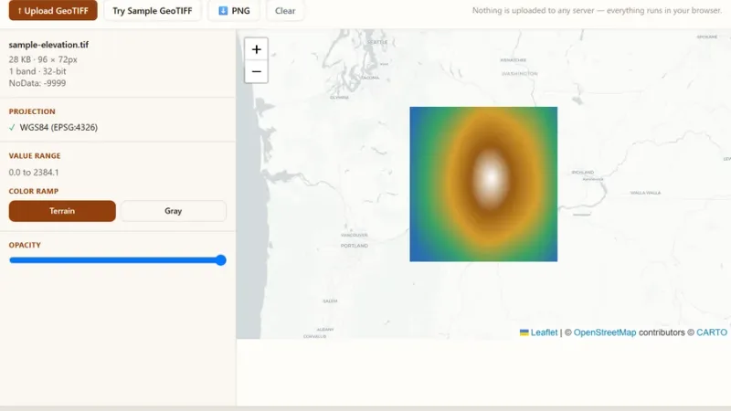
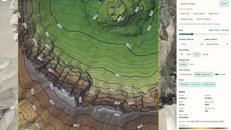
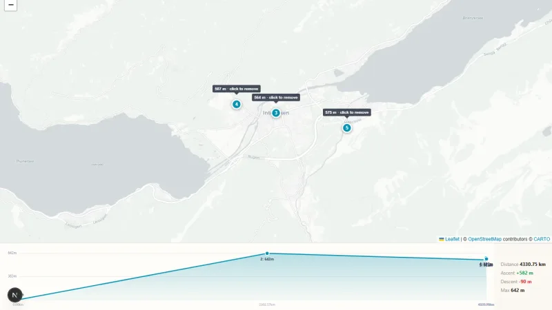
- Elevation and terrain analysis
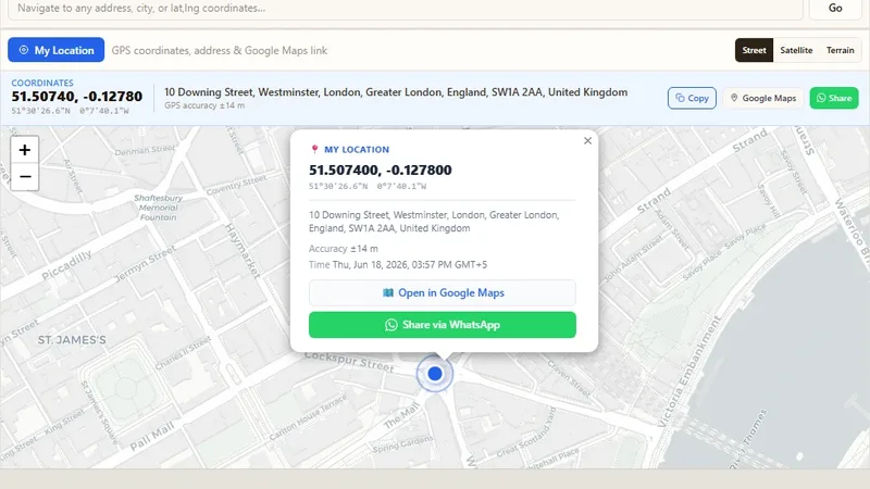
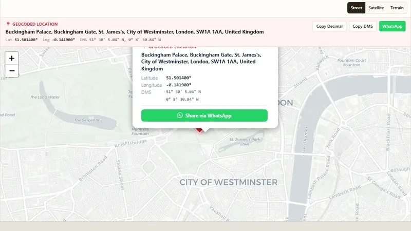
- Geocoding and reverse geocoding
- Large dataset processing
GIS Consulting & Strategy
We help you choose the right GIS tools, data and plan before you spend time and money.
- GIS needs assessment
- Open-source vs. commercial advice
- System design and data planning
- Training for your team
We work with your data formats
We use open-source GIS technology for most projects, so you do not pay for expensive licenses. We can also work with the tools you already have.
Who we help
Software development services
Our team also delivers complete software projects, with or without maps.
Custom Software Development
Software made for your exact business needs, from idea to launch.
Web Development
Fast, secure and easy-to-use websites and web applications.
Mobile Application Development
Mobile apps for Android and iOS devices.
Desktop Solutions
Desktop software that works with your current systems.
Software Integration
We connect your apps, data and services so they work together.
Data Solutions
Data collection, cleaning, reports and dashboards.
AI and Machine Learning
Smart features such as prediction, image analysis and automation.
UX/UI Design
Clean and simple designs that people enjoy using.
Software Quality Assurance
Testing to make sure your software works well before release.
Consulting and Strategy
Technical advice to plan your next product or system.
Business Process Outsourcing
Give routine work to our team and focus on your core business.
From first call to launch
Discuss
We listen to your goals, study your data and agree on the scope.
Design
We plan the data model, map design and user screens.
Build
We develop in small steps and share progress with you often.
Deliver & Support
We launch, train your team and stay with you for updates.
Not sure which service you need?
Send us a short note about your data and goal. We will suggest the best way forward.