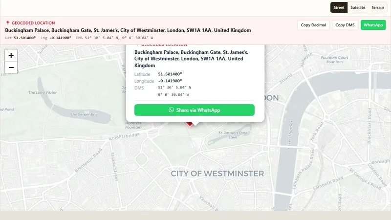
Geocoding & Coordinates
Address to Latitude & Longitude
Convert any address into GPS coordinates with a free geocoder.

Turn CSV or Excel data into a map by coordinates or postal codes.
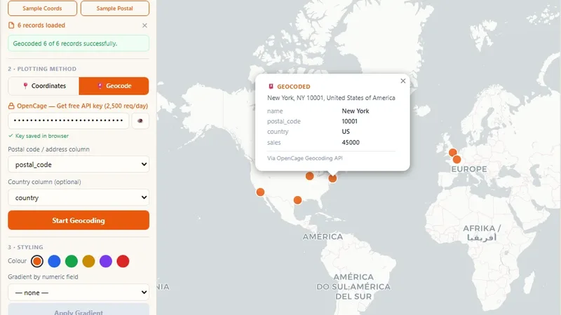
Upload a CSV or Excel file and plot the rows on an interactive map. If the file has coordinates, the tool uses them directly. If it has postal codes or addresses, the tool geocodes them first.
Try it live: ZIP Code Mapper on onlinemapmaker.com
Convert any address into GPS coordinates with a free geocoder.
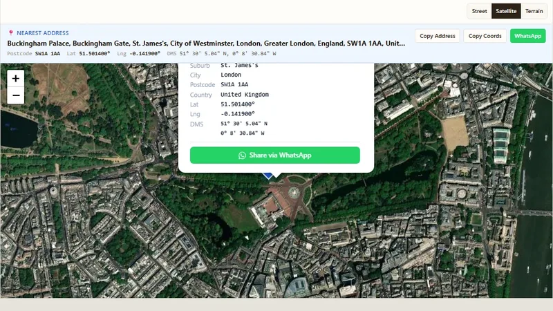
Convert GPS coordinates into a street address (reverse geocoding).
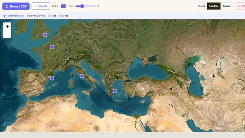
Plot points from a CSV file with latitude and longitude on a map.
Tell us about your data and your goals. We will reply with ideas, a plan and a cost estimate.