Measurement
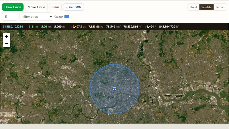
Radius Map Tool
Draw one or many radius circles on a map around any address or point.

Place two points on a map and check whether they can see each other, accounting for terrain elevation and Earth curvature.
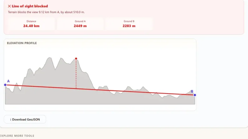
Place two points on the map and instantly see whether they have a clear line of sight to each other, accounting for the terrain between them, Earth's curvature, and atmospheric refraction.
Try it live: Line of Sight Calculator on onlinemapmaker.com
Draw one or many radius circles on a map around any address or point.
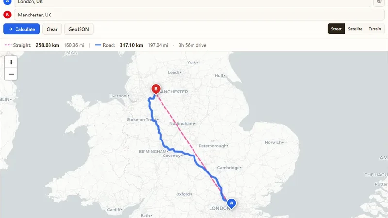
Find the driving and straight-line distance between two addresses.
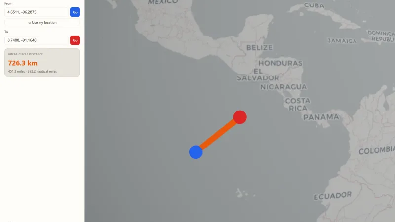
Spin a real 3D Earth, drop two pins, and see the great-circle distance drawn as an arc.
Tell us about your data and your goals. We will reply with ideas, a plan and a cost estimate.