Measurement
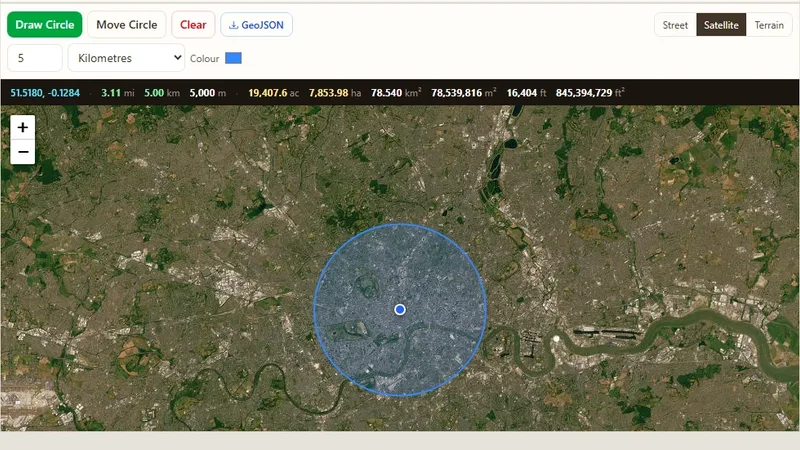
Radius Map Tool
Draw one or many radius circles on a map around any address or point.

Find the elevation (altitude) of any point on the map.
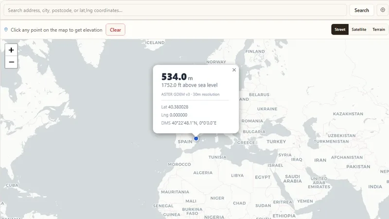
Find an estimate of the elevation of your current location or of any point on the map. It is useful for tasks such as flood risk checks. Users can switch between base maps.
Try it live: Elevation Finder on onlinemapmaker.com
Draw one or many radius circles on a map around any address or point.
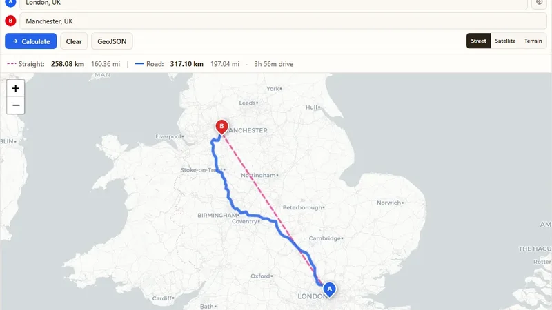
Find the driving and straight-line distance between two addresses.
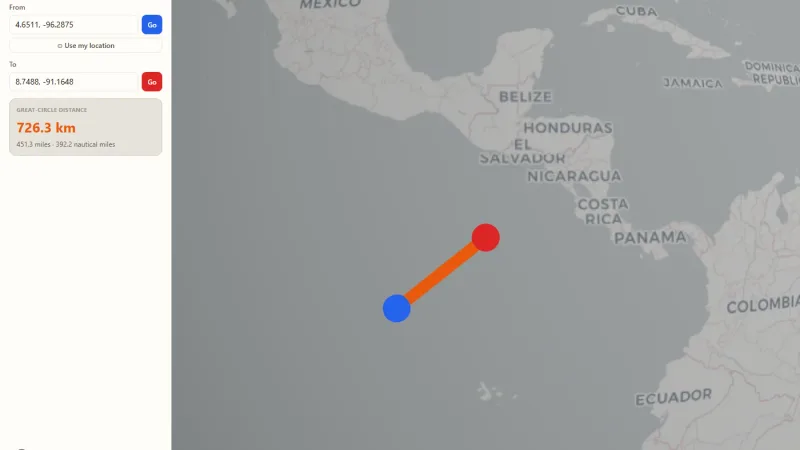
Spin a real 3D Earth, drop two pins, and see the great-circle distance drawn as an arc.
Tell us about your data and your goals. We will reply with ideas, a plan and a cost estimate.