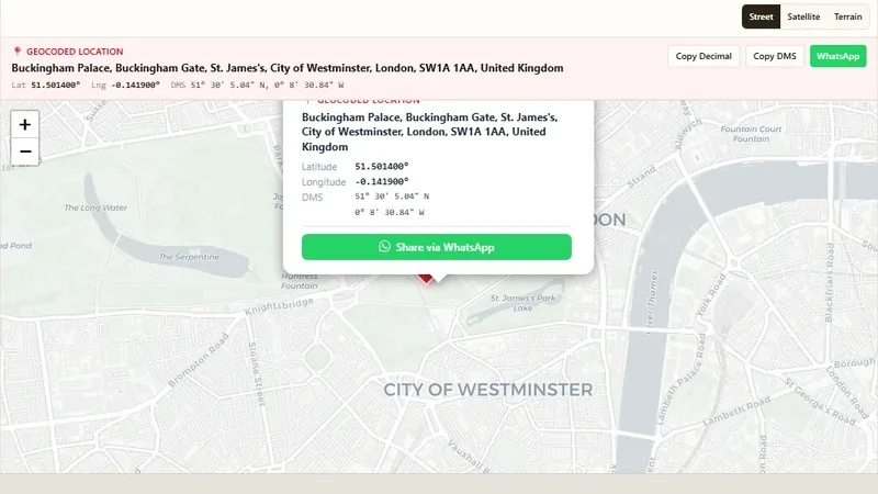
Geocoding & Coordinates
Address to Latitude & Longitude
Convert any address into GPS coordinates with a free geocoder.

Plot points from a CSV file with latitude and longitude on a map.
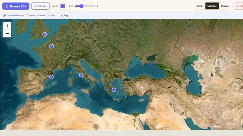
CSV is the simplest format to store point data. Users upload a CSV file with latitude and longitude columns in decimal degrees, and the tool places each row on the map.
Try it live: Latitude & Longitude Map from CSV on onlinemapmaker.com
Convert any address into GPS coordinates with a free geocoder.
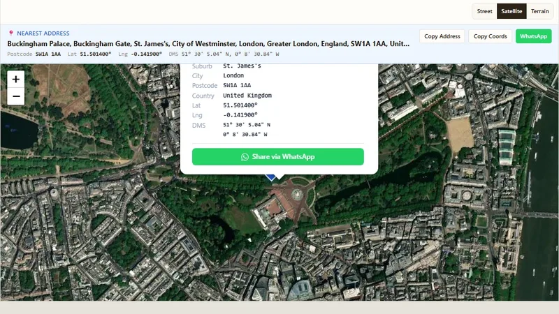
Convert GPS coordinates into a street address (reverse geocoding).
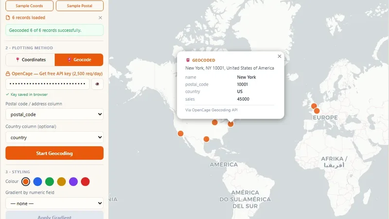
Turn CSV or Excel data into a map by coordinates or postal codes.
Tell us about your data and your goals. We will reply with ideas, a plan and a cost estimate.