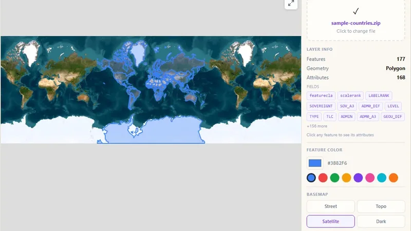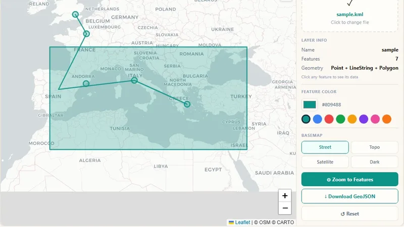
GIS & File Tools
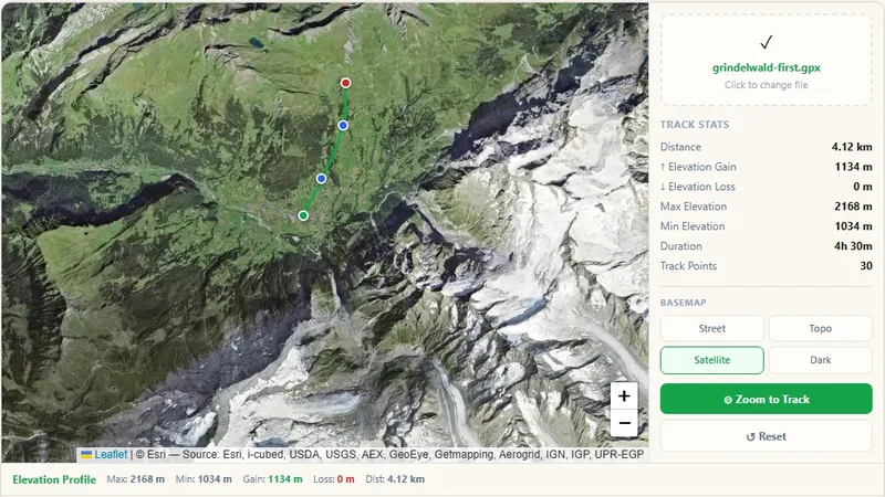
GPX File Viewer
View GPS tracks on a map and get the elevation profile.

Open a vector .mbtiles file in your browser: see every layer, click features, check tile sizes and validate the file.
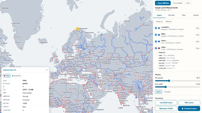
Open a vector .mbtiles file and see it as a map in seconds. This free vector MBTiles viewer lists every layer and field, colours the layers, lets you click any feature to read its attributes, shows tile sizes per zoom level and checks the file against the MBTiles and vector tile specifications.
Try it live: Vector MBTiles Viewer on onlinemapmaker.com
Tell us about your data and your goals. We will reply with ideas, a plan and a cost estimate.