GIS & File Tools
Online Shapefile Viewer
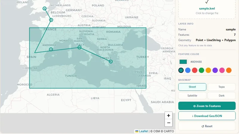
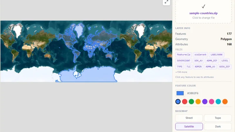
View Esri Shapefiles (.shp) as interactive maps in the browser.

View GPS tracks on a map and get the elevation profile.
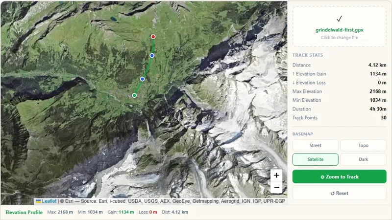
Drag and drop a GPX file to see the GPS track on the map. The map zooms to the data, and the tool shows an elevation profile. Users can change the base map.
Try it live: GPX File Viewer on onlinemapmaker.com
Tell us about your data and your goals. We will reply with ideas, a plan and a cost estimate.