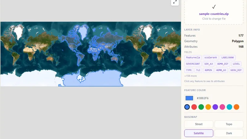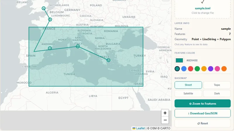
GIS & File Tools
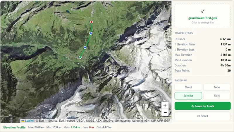
GPX File Viewer
View GPS tracks on a map and get the elevation profile.

Open a tab-separated .tsv file: rows with latitude and longitude go on a map, files without coordinates open as a sortable table. Export as CSV or GeoJSON.
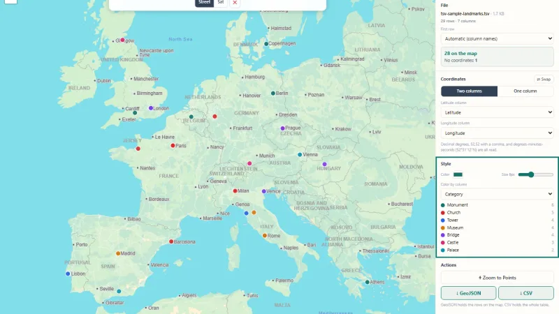
Open a .tsv file or paste cells copied from a spreadsheet. If the data has latitude and longitude columns, the viewer finds them and puts every row on a map.
Try it live: TSV Viewer on onlinemapmaker.com
Tell us about your data and your goals. We will reply with ideas, a plan and a cost estimate.