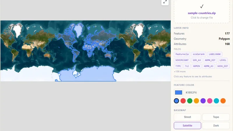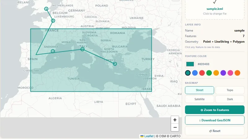
GIS & File Tools
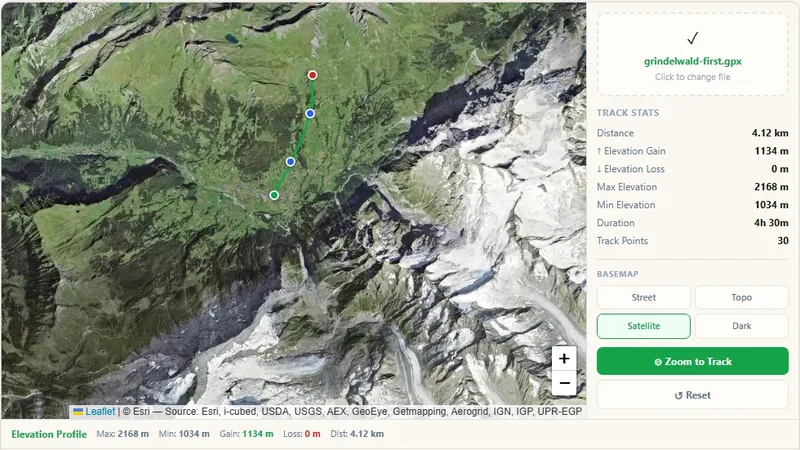
GPX File Viewer
View GPS tracks on a map and get the elevation profile.

Upload a SQLite or SpatiaLite database file, view every table on a map, click features for attributes, and change the color.
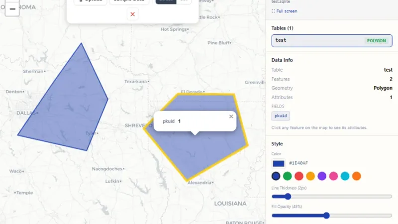
Upload a .sqlite, .sqlite3 or .db file, SpatiaLite databases included, and see every table plotted on an interactive map right away. Click any point, line or polygon to read its attributes, change the color, and download the result as GeoJSON, fast, in your browser, with no extra program needed.
Try it live: SQLite Viewer on onlinemapmaker.com
Tell us about your data and your goals. We will reply with ideas, a plan and a cost estimate.