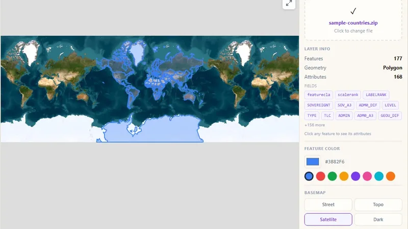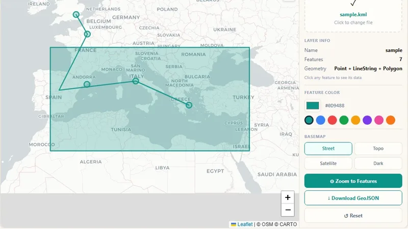
GIS & File Tools
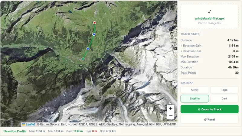
GPX File Viewer
View GPS tracks on a map and get the elevation profile.

Upload or paste JSON with latitude and longitude fields, even nested API data, see every record on a map, and export as GeoJSON or CSV.
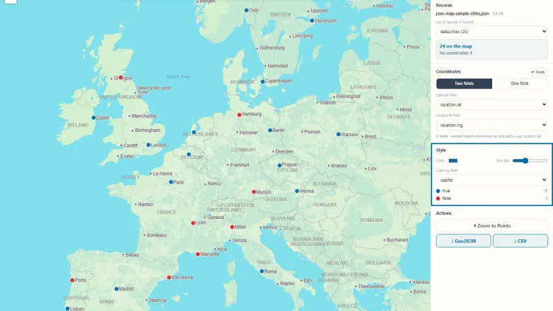
Upload or paste ordinary JSON, for example an API response or an app export, and see every record with a latitude and longitude on a map. The viewer finds the list of records and the coordinate fields by itself, even inside nested objects, and lets you export the points as GeoJSON or CSV.
Try it live: JSON Map Viewer on onlinemapmaker.com
Tell us about your data and your goals. We will reply with ideas, a plan and a cost estimate.