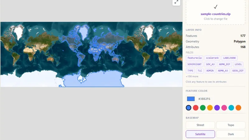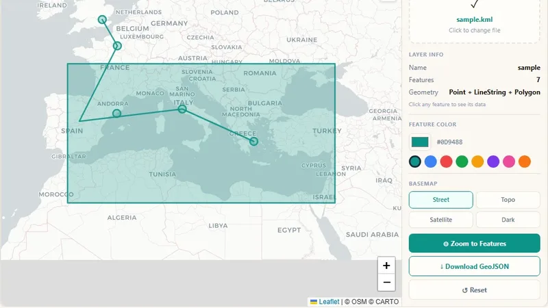
GIS & File Tools
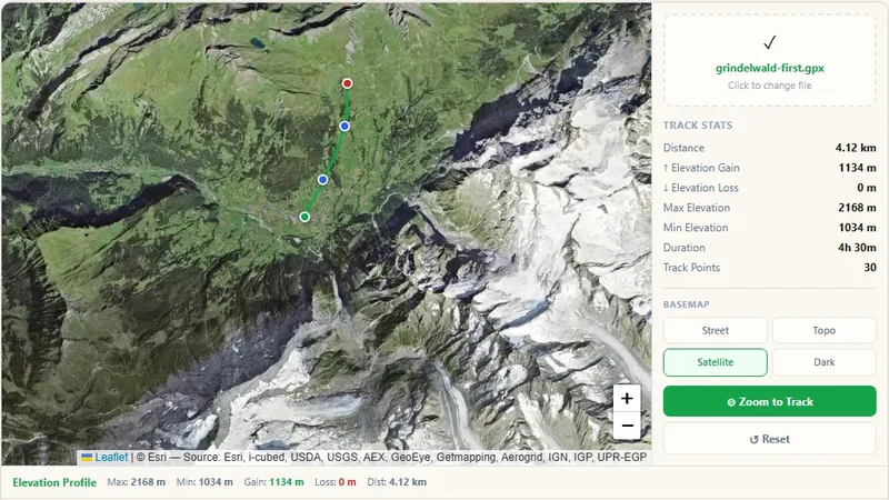
GPX File Viewer
View GPS tracks on a map and get the elevation profile.

Upload an Excel workbook, coordinates are found automatically, color the points by any column on an interactive map, and download KML or GeoJSON.
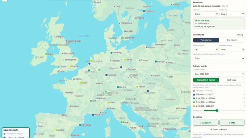
Upload an Excel workbook with latitude and longitude columns and see every row as a point on the map. The coordinate columns are found automatically, and you can choose other ones.
Try it live: Excel to Map on onlinemapmaker.com
Tell us about your data and your goals. We will reply with ideas, a plan and a cost estimate.