World & Reference Maps
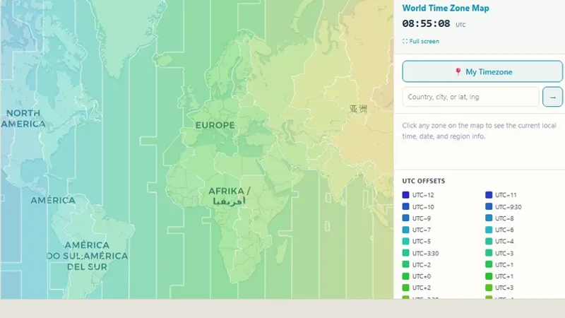
World Time Zone Map
An interactive map of UTC time zone boundaries for every country.

Drag countries on a map to compare their true size, corrected for Mercator projection distortion.
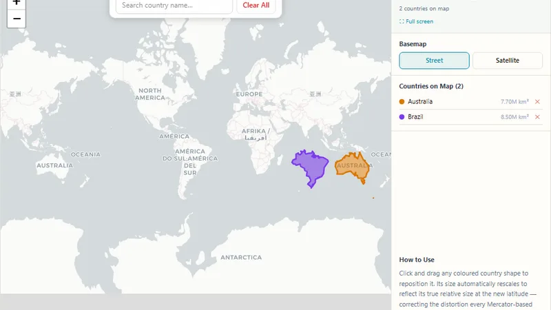
Search for any country, then drag its shape anywhere on the map, it automatically rescales to show its true size relative to its new location, correcting the distortion every standard web map introduces. No more Greenland looking bigger than Africa.
Try it live: True Size of Countries on onlinemapmaker.com
An interactive map of UTC time zone boundaries for every country.
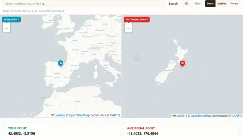
Click any point on Earth and instantly see its antipode, the exact opposite point on the other side of the globe.
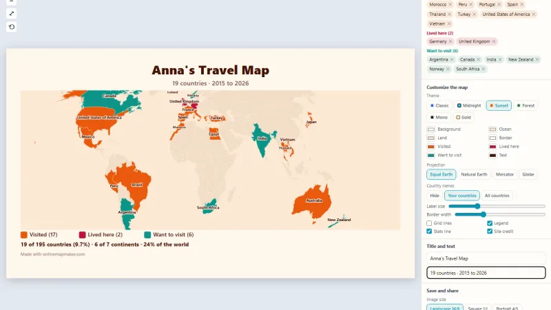
Click or search the countries you have been to, count them out of 195, customize the map and download it as an image.
Tell us about your data and your goals. We will reply with ideas, a plan and a cost estimate.