Photo & Media
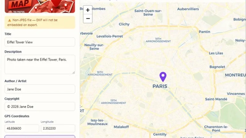
Geotag Photos Online
Add a location to your photos by editing their EXIF data.

Make an orthomosaic map from up to 60 overlapping drone photos and download it as a GeoTIFF.
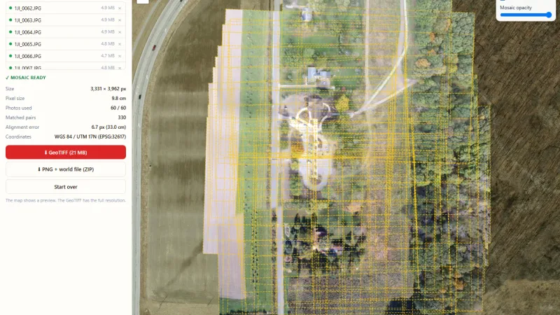
Make an orthomosaic map from your drone images, free and online. Drop up to 60 overlapping drone photos (600 MB in total).
Try it live: Drone Image Stitcher & Orthomosaic Maker on onlinemapmaker.com
Add a location to your photos by editing their EXIF data.
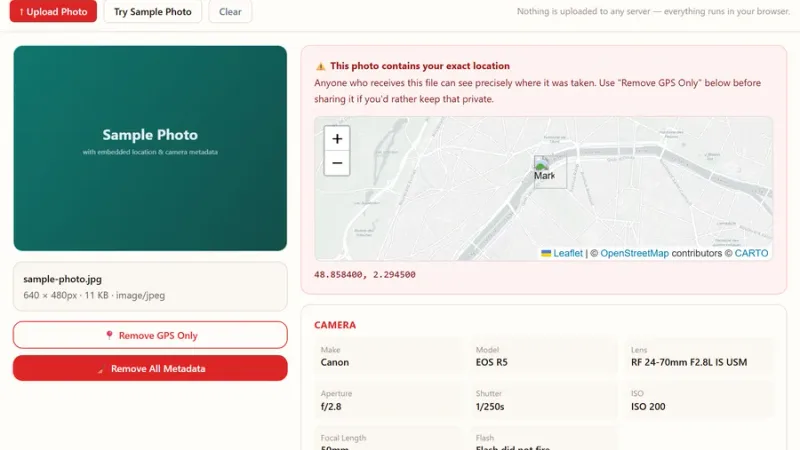
View all the EXIF metadata hidden in a photo, including GPS location, then strip it before sharing.
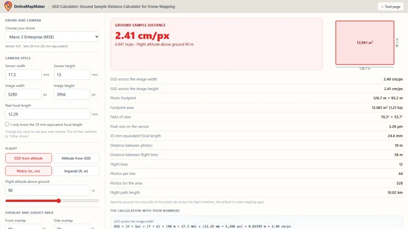
Calculate the ground sample distance of drone photos from flight height, or the height for a target GSD, with specs for popular drones.
Tell us about your data and your goals. We will reply with ideas, a plan and a cost estimate.