Geoprocessing Tools
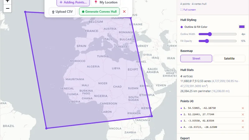
Convex Hull Generator
Mark points on a map or upload a CSV and generate a styled convex hull boundary.

Draw a bounding box by clicking and dragging, or type exact coordinates, then rotate it and export as GeoJSON or a coordinate list.
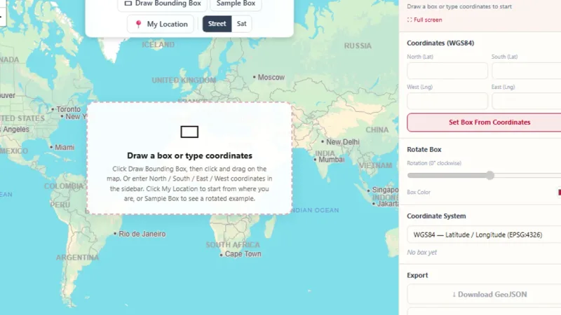
Click and drag on the map to draw a bounding box, or type exact North / South / East / West coordinates. Rotate the box to any angle, check its corner coordinates in WGS84, UTM or Web Mercator, and download it as GeoJSON or as a plain-text coordinate list, fast, in your browser, with no extra program needed.
Try it live: Bounding Box Tool on onlinemapmaker.com
Mark points on a map or upload a CSV and generate a styled convex hull boundary.
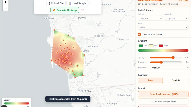
Upload an Excel spreadsheet and generate a smooth IDW-interpolated heat map.
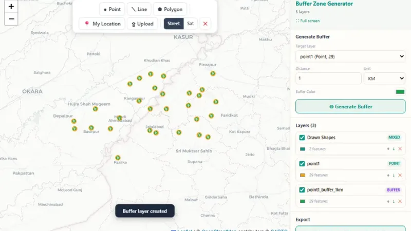
Draw or upload points, lines and polygons, then generate buffer zones around them at any distance.
Tell us about your data and your goals. We will reply with ideas, a plan and a cost estimate.